
Country Macedonia Time zone CET (UTC+1) car plates BT-nnn-Ux | Area code(s) 48 | |
 | ||
Region | ||
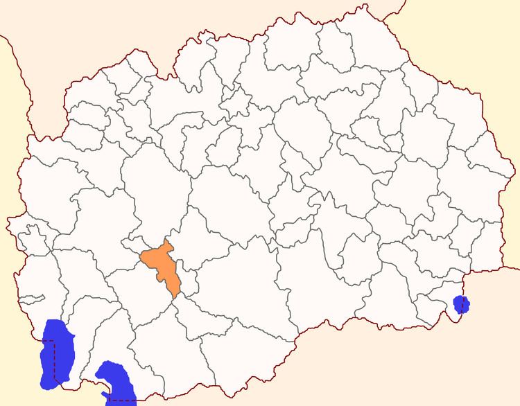
Kruševo Municipality (Macedonian: Крушево [ˈkruʃevo]; Aromanian: Crushuva) is a municipality in central Republic of Macedonia. Kruševo is also the name of the town where the municipal seat is found. This municipality is part of the Pelagonia Statistical Region.
Contents
Map of Municipality of Krushevo, Macedonia (FYROM)
Geography
The municipality borders Plasnica Municipality to the northwest, Makedonski Brod Municipality to the north, Dolneni Municipality and Krivogaštani Municipality to the east, Mogila Municipality to the south, and Demir Hisar Municipality and Kičevo Municipality to the west.
Demographics
According to the last national census from 2002, this municipality has 9,684 inhabitants. Ethnic groups in the municipality include:
References
Kruševo Municipality Wikipedia(Text) CC BY-SA