
Country Thailand Time zone THA (UTC+7) Geocode 9508 Population 22,411 (2005) | Seat Sa-ae Postal code 95000 Area 191 km² Province Yala Province | |
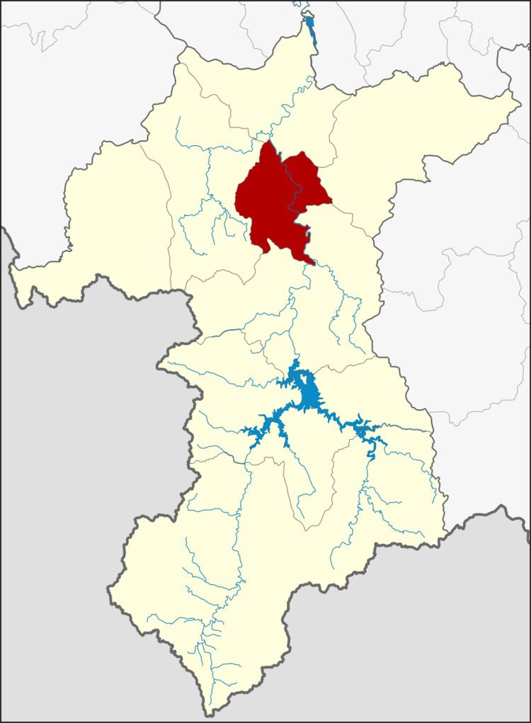 | ||
Krong Pinang (Thai: กรงปินัง) is a district (Amphoe) of Yala Province, southern Thailand, established by the Royal Decree Establishing Amphoe Krong Pinang, Changwat Yala, BE 2547 (2004), which came into force as from October 8, 2004.
Contents
Map of Krong Pinang District, Yala, Thailand
Etymology
The name Krong Pinang is actually the Thai corruption of Kampung Pinang (Jawi: كامڤوڠ ڤينڠ), its original Malay name means 'The Village of Pinang'. The word Pinang means Betel palm or Betel nut tree (Areca catechu) in Malay.
History
The minor district (King Amphoe) Krong Pinang was established on April 30, 1994, when four tambon were split off from Mueang Yala district. It was upgraded to a full district on October 8, 2004.
Geography
Neighboring districts are (from the east clockwise) Raman, Bannang Sata, Yaha and Mueang Yala of Yala province.
Administration
The district is subdivided into 4 subdistricts (tambon), which are further subdivided into 23 villages (muban). There are no municipal (thesaban) areas, and 4 Tambon administrative organizations (TAO).