
Country Thailand Muban 65 Postal code 60170 Area 297.2 km² Province Nakhon Sawan Province | Tambon 9 Time zone THA (UTC+7) Geocode 6002 Population 35,923 (2015) | |
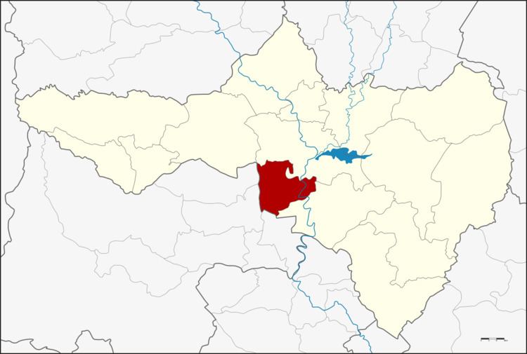 | ||
Krok Phra (Thai: โกรกพระ) is a district (amphoe) in Nakhon Sawan Province, northern Thailand.
Contents
- Map of Krok Phra District Nakhon Sawan Thailand
- History
- Geography
- Central administration
- Local administration
- References
Map of Krok Phra District, Nakhon Sawan, Thailand
History
Originally, the district was named Noen Sala. However, as the old location was not convenient for transportation, the district office was moved to the west bank of the Chao Phraya river at Ban Krok Phra in 1899. The name of the district was then changed accordingly.
At first, the area was called Ban Krok which means village at a steep cliff. According to the local lore, once an old rich couple from Ayutthaya wanted to move a big Buddha's image from Sukhothai to Ayutthaya on the Chao Phraya river. When it passed Ban Krok, the log broke and the Buddha image sunk into the river and could not get recovered. So the people in the district then called their village Ban Krok Phra, adding the word Phra meaning venerable to commemorate the event.
Geography
Neighboring districts are (from the north clockwise) Mueang Nakhon Sawan and Phayuha Khiri of Nakhon Sawan Province, and Mueang Uthai Thani, Thap Than and Sawang Arom of Uthai Thani Province.
Central administration
The district Krok Phra is subdivided into 9 subdistricts (Tambon), which are further subdivided into 65 administrative villages (Muban).
Local administration
There are 3 subdistrict municipalities (Thesaban Tambon) in the district:
There are 7 subdistrict administrative organizations (SAO) in the district: