
 | ||
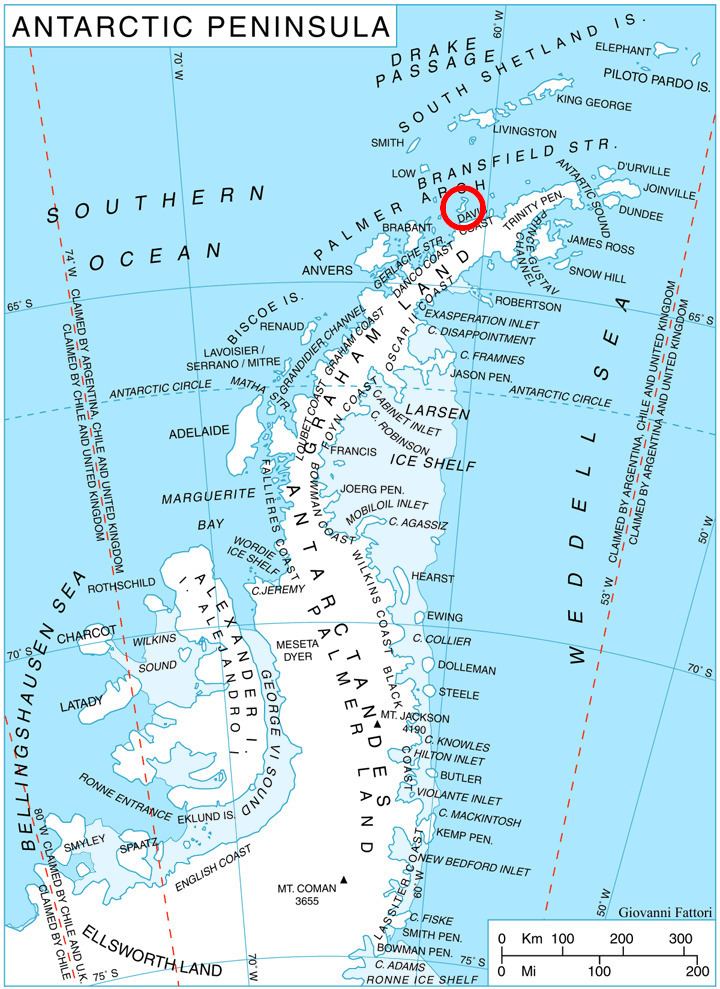
Krivina Bay (Bulgarian: залив Кривина, ‘Zaliv Krivina’ \'za-liv 'kri-vi-na) is a 5 km wide bay indenting for 3 km the west coast of Trinity Island in the Palmer Archipelago, Antarctica. Entered north of Romero Point. The three rocky islands of Imelin, Dink and Rogulyat lye in the north part of the bay.
Contents
The bay is named after the settlement of Krivina in western Bulgaria.
Location
Krivina Bay is located at 63°49′10″S 60°47′45″W. British mapping in 1978.
Maps
References
Krivina Bay Wikipedia(Text) CC BY-SA