
Country India Telephone/STD code 03472 Area 151.7 km² Area code 03472 | Time zone IST (UTC+5:30) Elevation 12 m Population 146,705 (2011) | |
 | ||
PIN 741506 (Krishnaganj)741509 (Chandannagar)741503 (Banpur)741514 (Bhajanghat) | ||
Krishnaganj is a community development block that forms an administrative division in Krishnanagar Sadar subdivision of Nadia district in the Indian state of West Bengal. Krishnaganj police station serves this block. Headquarters of this block is at Krishnaganj. It is located 24 km from Krishnanagar, the district headquarters.
Contents
Location
Bhajanghat, a constituent panchayat of this block, is located at 23°23′26″N 88°44′31″E.
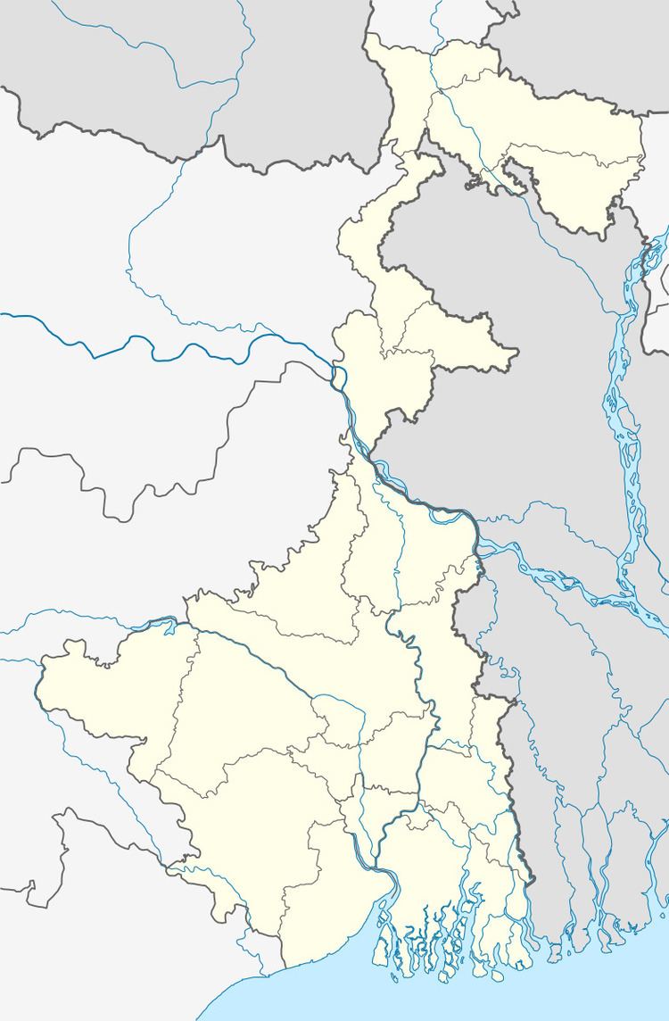
Krishnaganj CD Block is bounded by Damurhuda and Jibannagar upazilas of Chuadanga District of Bangladesh, in the north and the east, Hanskhali CD Block in the south and Krishnanagar I and Chapra CD Blocks in the west.
Area
Krishnaganj CD Block has an area of 151.70 km2.
Physical features
Nadia district is mostly alluvial plains lying to the east of Hooghly River, locally known as Bhagirathi. The alluvial plains are cut across by such distributaries as Jalangi, Churni and Ichhamati. With these rivers getting silted up, floods are a recurring feature.
Gram panchayats
Gram panchayats of Krishnaganj block/ panchayat samiti are: Bhajanghat Tungi, Gobindapur, Joyghata, Krishnaganj, Matiary Banpur, Shibnibas and Taldah Majdia.
Demographics
As per 2011 Census of India Krishnaganj CD Block had a total population of 146,705, all of which were rural. There were 75,573 (52%) males and 71,132 (48%) females. The population below 6 years was 14,638. Scheduled Castes numbered 66,818 and Scheduled Tribes numbered 9,492.
As per 2001 census, Krishnaganj block had a total population of 133,385, out of which 68,547 were males and 64,838 were females. Krishnaganj block registered a population growth of 18.17 per cent during the 1991-2001 decade. Decadal growth for the district was 19.51 per cent. Decadal growth in West Bengal was 17.84 per cent.
Large villages
Large villages in Krishnaganj CD Block were (2011 census figures in brackets): Jayghata (4,327), Durgapur (4,717), Chaugachha (6,054), Chandan Nagar (5,419), Songhata (4,498), Banpur (5,888), Gede (5,396), Matiari (7,301), Tungi (7,803), Majdia (11,995), Helenchi (4,610) and Bhajanghat (5,206).
Literacy
As per 2011 census the total number of literates in Krishnaganj CD Block was 96,222 (72.86% of the population over 6 years) out of which 52,754 (55%) were males and 43,468 (45%) were females.
As per 2011 census, literacy in Nadia district was 74.97. Literacy in West Bengal was 77.08% in 2011. Literacy in India in 2011 was 74.04%.
Language
Bengali is the local language in these areas.
Transportation
The main line of the Eastern Bengal Railway from Sealdah to Ranaghat, was opened in 1862 and extended to Kushtia, now in Bangladesh, the same year. After partition of India in 1947, the main line got truncated and what remained in West Bengal formed the Gede branch line. Now, Gede railway station, in this block, is the last railway station in India and border checkpoint on way to Bangladesh.