
Administrative center selo of Krasnoturansk Rural localities 25 Founded 4 April 1924 | selsoviet 9 Area 3,462 km² | |
 | ||
Municipally incorporated as | ||
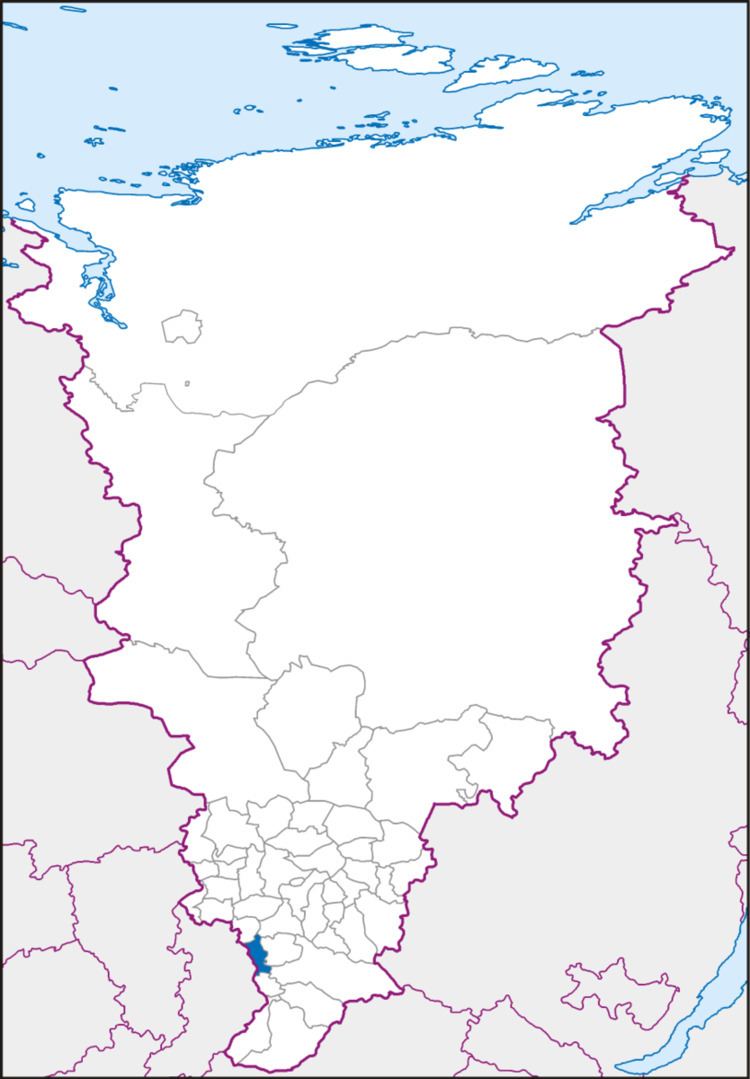
Krasnoturansky District (Russian: Краснотура́нский райо́н) is an administrative and municipal district (raion), one of the forty-three in Krasnoyarsk Krai, Russia. It is located in the southwest of the krai and borders with Novosyolovsky District in the north, Balakhtinsky District in the northeast, Idrinsky District in the east, Kuraginsky District in the southeast, Minusinsky District in the south, and with the Republic of Khakassia in the west. The area of the district is 3,462 square kilometers (1,337 sq mi). Its administrative center is the rural locality (a selo) of Krasnoturansk. Population: 15,562 (2010 Census); 17,322 (2002 Census); 18,629 (1989 Census). The population of Krasnoturansk accounts for 37.2% of the district's total population.
Contents
Map of Krasnoturansky District, Krasnoyarsk Krai, Russia
Geography
The district is located on the right bank of the Yenisei River.
History
The district was founded on April 4, 1924.
Government
The Head of the District and the Chairman of the District Council is Mikhail I. Kapturov.