Town of district significance Krasnoslobodsk | Local time Saturday 7:52 AM | |
 | ||
Municipal district Sredneakhtubinsky Municipal District Weather 2°C, Wind SE at 11 km/h, 95% Humidity | ||
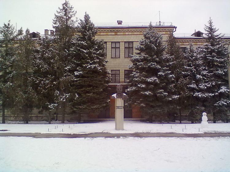
Krasnoslobodsk (Russian: Краснослобо́дск) is a town in Sredneakhtubinsky District of Volgograd Oblast, Russia, located on the east bank of the Volga River across from Volgograd, the administrative center of the oblast. Population: 15,998 (2010 Census); 14,359 (2002 Census); 13,533 (1989 Census).
Contents
Map of Krasnoslobodsk, Volgograd Oblast, Russia
History
It was founded as the khutor of Bukatin (Букатин). After 1917, it was renamed Krasnaya Sloboda (Кра́сная Слобода́). In 1955, it was given its present name and granted town status.
Administrative and municipal status
Within the framework of administrative divisions, it is, together with three rural localities, incorporated within Sredneakhtubinsky District as the town of district significance of Krasnoslobodsk. As a municipal division, the territory of Krasnoslobodsk and two of the rural localities are incorporated within Sredneakhtubinsky Municipal District as Krasnoslobodsk Urban Settlement. The remaining rural locality (the khutor of Sakharny) is incorporated as a part of Frunzenskoye Rural Settlement in Sredneakhtubinsky Municipal District.
