
Local time Saturday 6:49 AM | ||
 | ||
Weather 0°C, Wind S at 11 km/h, 92% Humidity | ||
Krasnopillya is an urban settlement (town) in Sumy Oblast (province), located in the historic region of the Sloboda Ukraine. It is an administrative seat of the Krasnopillia Raion, Krasnopillya town municipality and is only 42 km (26 mi) away from Sumy, the regional center.
Contents
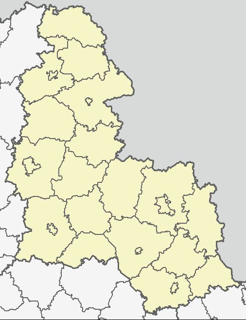
Map of Krasnopillya, Sumska, Ukraine
Location
The town is located near the river of Syrovatka which is a left tributary of Psel River. Krasnopillya is situated in a close proximity to the Russia-Ukraine border.
History
The town appeared in 1640 as a fort of the Belgorod Defense Line which Muscovy erected in Sloboda Ukraine officially to secure Muscovite southern borders from raids of Crimean Tatars and Nogais. Eventually the town developed into a district center of the Sumy Regiment which also served as a regional subdivision of the Sloboda Ukraine. After disbanding the regimental administrative division in 1765, Krasnopillya became a sloboda and a seat of volost (a county subdivision).
In 1901 in Krasnopillya was built a railway station. The town suffered from the Soviet Holodomor in Ukraine. During the World War II, the Soviet troops left the town to the advancing German forces on October 15, 1941.