
Country Russia/Ukraine Municipality Yalta Municipality Time zone MSK (UTC+4) Elevation 30 m | Republic Crimea Local council Gurzuf Postal code 98646 Population 1,051 (2014) | |
 | ||
Weather 1°C, Wind N at 2 km/h, 91% Humidity | ||
Krasnokamianka (Ukrainian: Краснокам'янка; Russian: Краснока́менка, Crimean Tatar: Qızıltaş, also known as Kiziltash or Kyzyltash, the same word in Turkic dialects; literally, red stone) is a resort and urban-type settlement in Yalta Municipality in the Autonomous Republic of Crimea, a territory recognized by a majority of countries as part of Ukraine and incorporated by Russia as the Republic of Crimea. Population: 1,051 (2014 Census).
Contents
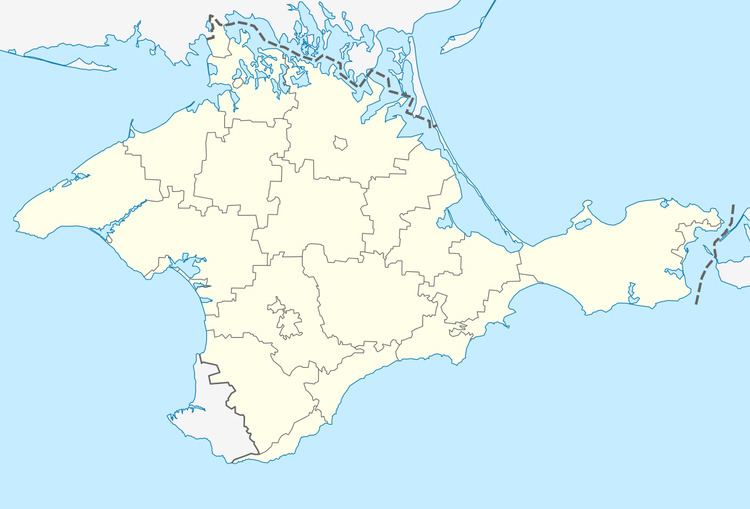
Map of Krasnokam'yanka
Geography
Krasnokamianka is a former Crimean Tatar village, now a part of Greater Yalta, on the northern coast of the Black Sea.
It is near the headquarters of the Eurasian Scout Region, the divisional office of the World Scout Bureau of the World Organization of the Scout Movement in Gurzuf.
References
Krasnokamianka (urban-type settlement) Wikipedia(Text) CC BY-SA