
rural settlement 9 Area 456.4 km² | Rural localities 89 | |
 | ||
Administrative center selo of Krasnoarmeyskoye Municipally incorporated as | ||
Krasnoarmeysky District (Russian: Красноарме́йский райо́н; Chuvash: Красноармейски районĕ) is an administrative and municipal district (raion), one of the twenty-one in the Chuvash Republic, Russia. It is located in the north of the republic and borders with Cheboksarsky District in the north, Tsivilsky District in the northeast, Kanashsky and Vurnarsky Districts in the south, and with Alikovsky and Morgaushsky Districts in the west. The area of the district is 456.3 square kilometers (176.2 sq mi). Its administrative center is the rural locality (a selo) of [[Krasnoarmeyskoye, ef name='about'/>Chuvash Republic|Krasnoarmeyskoye]]. Population: 16,036 (2010 Census); 17,940 (2002 Census); 19,693 (1989 Census). The population of Krasnoarmeyskoye accounts for 26.6% of the district's total population.
Contents
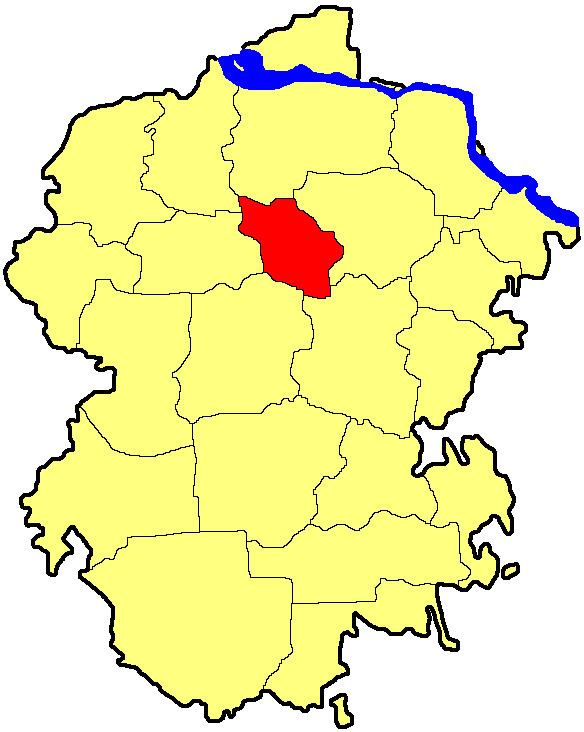
Map of Krasnoarmeysky District, Chuvashia Republic, Russia
History
The district was established on January 9, 1935.