
Country Thailand Seat Krasae Sin Postal code 90270 Area 96.4 km² | Province Songkhla Time zone THA (UTC+7) Geocode 9008 Population 16,055 (2005) | |
 | ||
Krasae Sin (Thai: กระแสสินธุ์) is a district (Amphoe) in the northern part of Songkhla Province, southern Thailand.
Contents
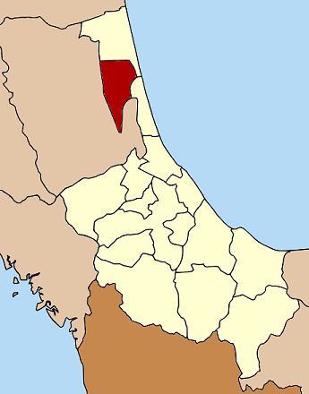
Map of Krasae Sin District, Songkhla, Thailand
Geography
Neighboring districts are (from the south clockwise) Sathing Phra of Songkhla Province, Pak Phayun, Bang Kaeo, Khao Chaison, Mueang Phatthalung of Phatthalung Province and Ranot of Songkhla Province again.
The western part of the district is at the shore of the Thale Luang and Thale Noi, the northern parts of the Songkhla Lake.
History
The minor district (King Amphoe) was created on February 16, 1978, when the three tambon Choeng Sae, Ko Yai and Rong were split off from Ranot district. It was upgraded to a full district on July 4, 1994.
Administration
The district is subdivided into 4 subdistricts (tambon), which are further subdivided into 22 villages (muban). There are no municipal (thesaban) areas within the district, and further 4 Tambon administrative organizations (TAO).