
Established 1894 Local time Saturday 6:04 AM | PO box 3268 Area code 033 | |
 | ||
Weather 17°C, Wind W at 3 km/h, 86% Humidity | ||
Kranskop is a small town that is situated on the edge of the Tugela River valley in KwaZulu-Natal, South Africa. It was founded in 1894 as Hopetown but the following confusion with another town of the same name in the Great Karoo, Northern Cape, the name was changed. Kranskop was chosen and is named after two cliff faces that rise 1,175 metres above the Tugela Valley near the town. The name is an Afrikaans word meaning "cliff head."
Contents
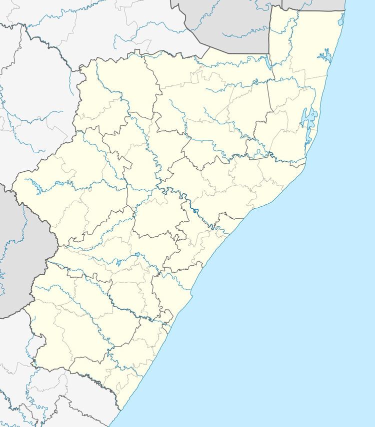
Map of Kranskop, 3268, South Africa
The Kranskop rock formation has major significance in local Zulu legend and folklore, for whom it is called "Ntunjambili". The Zulu have ancient stories about a forbidden cave and a hill opening that provides protection from cannibals, but then it closes on those who have entered.
Education
Deutsche Schule Hermannsburg, a private school, is 15 kilometres (9.3 mi) from Kranskop.