
Admin. region Karlsruhe Elevation 177 m (581 ft) Area 80.56 km² Postal code 76703 | District Karlsruhe Time zone CET/CEST (UTC+1/+2) Local time Saturday 3:48 AM Population 14,958 (31 Dec 2008) | |
 | ||
Weather 9°C, Wind SW at 31 km/h, 75% Humidity | ||
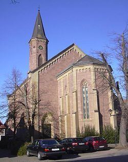
Kraichtal is a town in the north-eastern part of the Karlsruhe district in Baden-Württemberg, Germany. It was founded in 1971 by a merger of nine smaller municipalities.
Contents
Map of 76703 Kraichtal, Germany
Geography
Kraichtal is a German town embedded in western Kraichgau, a hilly landscape between the Black Forest, Odenwald forest and the Neckar river. Kraichtal (literally Kraich Valley) got its name from the Kraich river, which flows through Kraichtal, and then eventually into the Rhine.
Neighbouring towns
The following towns neighbour Kraichtal: Eppingen and Zaisenhausen, Oberderdingen, Bretten, Bruchsal, Ubstadt-Weiher and Oestringen.
Districts
Kraichtal consists of nine districts, each district (Stadtteil) representing one of the nine municipalities which merged to become Kraichtal in 1971:
Count Eberstein Castle lies in Gochsheim, in the north east of Kraichtal.