
Area 9.34 km² | ||
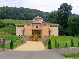 | ||
Krížovany (Hungarian: Szentkereszt) is a village and municipality in Prešov District in the Prešov Region of eastern Slovakia.
Contents
Map of 082 33 Kr%C3%AD%C5%BEovany, Slovakia
History
In historical records the village was first mentioned in 1318.
Geography
The municipality lies at an altitude of 396 metres and covers an area of 9.341 km². It has a population of about 365 people.
References
Krížovany Wikipedia(Text) CC BY-SA