
Area 14.03 km² | Local time Saturday 4:15 PM | |
 | ||
Weather 7°C, Wind SW at 13 km/h, 81% Humidity | ||
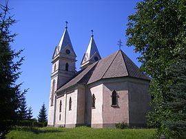
Krásnohorská Dlhá Lúka (Hungarian: Várhosszúrét) is a village and municipality in the Rožňava District in the Košice Region of middle-eastern Slovakia.
Contents
Map of 049 45 Kr%C3%A1snohorsk%C3%A1 Dlh%C3%A1 L%C3%BAka, Slovakia
History
In historical records the village was first mentioned in 1338.
Geography
The village lies at an altitude of 315 metres and covers an area of 14.034 km². It has a population of about 690 people.
Culture
The village has a public library and a football pitch.
References
Krásnohorská Dlhá Lúka Wikipedia(Text) CC BY-SA