
Urban-type settlements 2 Urban-type settlements 2 Founded 4 April 1924 | Selsoviets 5 Area 5,305 km² | |
 | ||
Administrative center urban-type settlement of Kozulka | ||
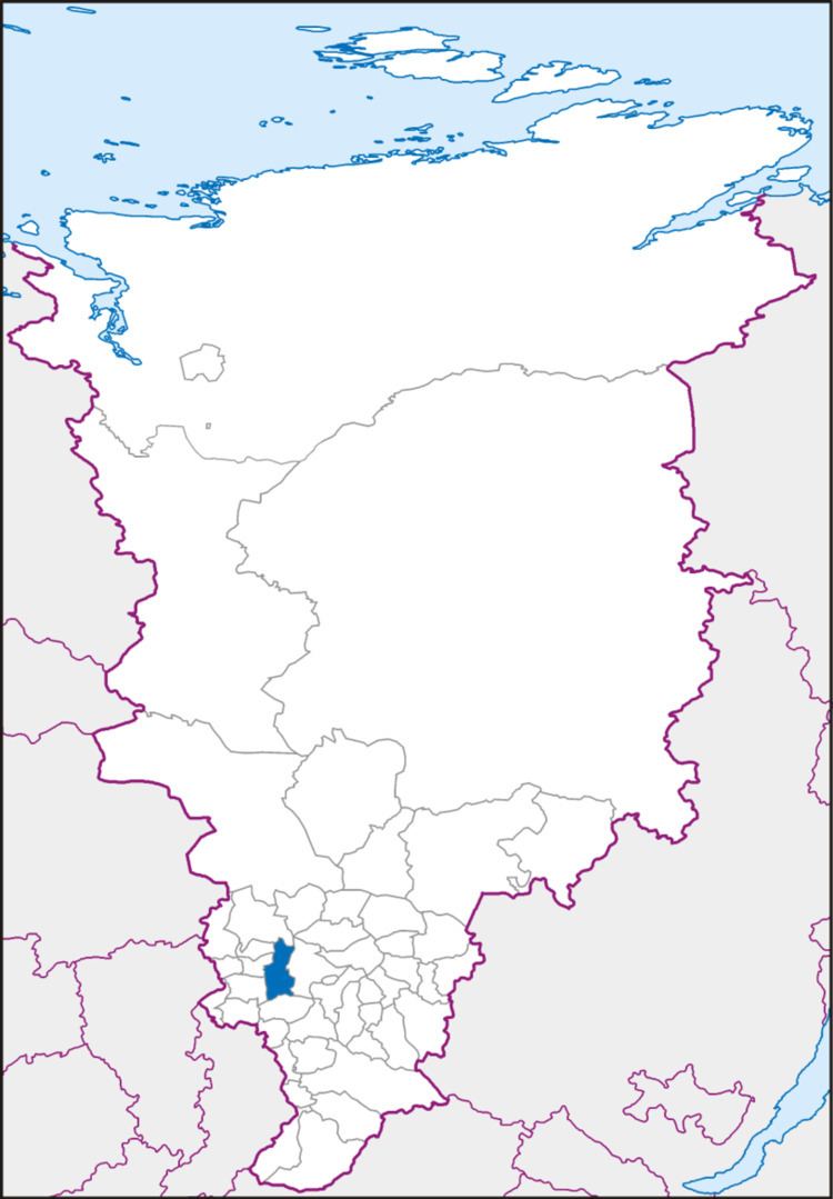
Kozulsky District (Russian: Козу́льский райо́н) is an administrative and municipal district (raion), one of the forty-three in Krasnoyarsk Krai, Russia. It is located in the southwest of the krai and borders with Birilyussky District in the north, Yemelyanovsky District in the east, Balakhtinsky District in the south, and with Nazarovsky, Achinsky and Bolsheuluysky Districts in the west. The area of the district is 5,305 square kilometers (2,048 sq mi). Its administrative center is the urban locality (an urban-type settlement) of Kozulka. Population: 16,689 (2010 Census); 19,010 (2002 Census); 22,076 (1989 Census). The population of Kozulka accounts for 47.9% of the district's total population.
Contents
Map of Kozulsky District, Krasnoyarsk Krai, Russia
Government
As of 2013, the Head of District and the Chairman of the District Council is Igor V. Krivenkov.
Transportation
The Trans-Siberian Railway runs through the district from west to east. A part of the federal highway M53 passes through the district as well.