
Country Japan Website City of Toyokawa Local time Saturday 9:00 AM District Hoi District, Aichi | Prefecture Aichi Prefecture Area 9.92 km² Population 21,708 (1 Nov 2007) Flower Satsuki azalea | |
 | ||
Merged February 1, 2010
(now part of Toyokawa) Time zone Japan Standard Time (UTC+9) Weather 8°C, Wind NW at 18 km/h, 65% Humidity Region Chūbu region (Tōkai region) | ||
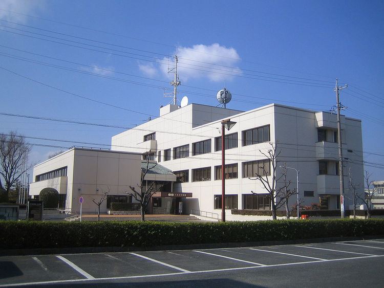
Kozakai (小坂井町, Kozakai-chō) was a town located in Hoi District, Aichi Prefecture, Japan.
Contents
- Map of Kozakaicho Toyokawa Aichi Prefecture 441 0103 Japan
- History
- Primary schools
- Junior High school
- High school
- Ceremony Hall
- Railway
- National highway
- Local attractions
- Noted persons from Kozakai
- References
Map of Kozakaicho, Toyokawa, Aichi Prefecture 441-0103, Japan
As of November 1, 2007, (the last census information available) the town had an estimated population of 22,708 and a population density of 2,188.31 persons per km². The total area was 9.92 km².
On February 1, 2010, Kozakai was merged into the expanded city of Toyokawa. Therefore, Hoi District was dissolved as a result of this merger.
History
Primary schools
Junior High school
High school
Ceremony Hall
Railway
National highway
Local attractions
Noted persons from Kozakai
References
Kozakai, Aichi Wikipedia(Text) CC BY-SA