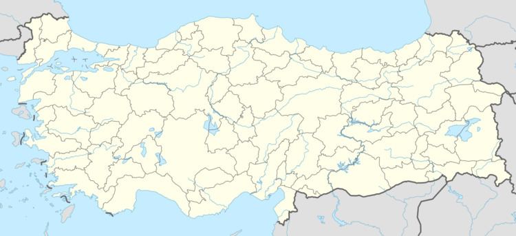
Country Turkey District Ovacık Postal code 62900 Elevation 1,300 m Area code 0428 | Province Tunceli Province Time zone EET (UTC+2) Licence plate 62 Population 350 (2011) | |
 | ||
Teberik dersim ovacik dewa eda e koyung l
Koyungölü is a village in Ovacık district of Tunceli Province, Turkey. At 39°21′N 39°07′E it is sitıated in the valley of Munzur river. The distance to Ovacık is 10 kilometres (6.2 mi) and to Tunceli is 72 kilometres (45 mi). The population of Koyungölü is 350 as of 2011. Like most villages around, the main economic activities are animal breeding and agriculture.
Contents
- Teberik dersim ovacik dewa eda e koyung l
- Map of KoyungC3B6lC3BC Kandolar Mahallesi 62900 Ada KC3B6yC3BC2FOvacC4B1k2FTunceli Turkey
- Kedek koyung l k y ovacik
- References
Map of Koyung%C3%B6l%C3%BC, Kandolar Mahallesi, 62900 Ada K%C3%B6y%C3%BC%2FOvac%C4%B1k%2FTunceli, Turkey
Kedek koyung l k y ovacik
References
Koyungölü Wikipedia(Text) CC BY-SA
