
Administrative center selo of Koygorodok settlement administrative territories 7 Area 10,416 km² | selo administrative territories 3 Rural localities 21 Founded 1949 | |
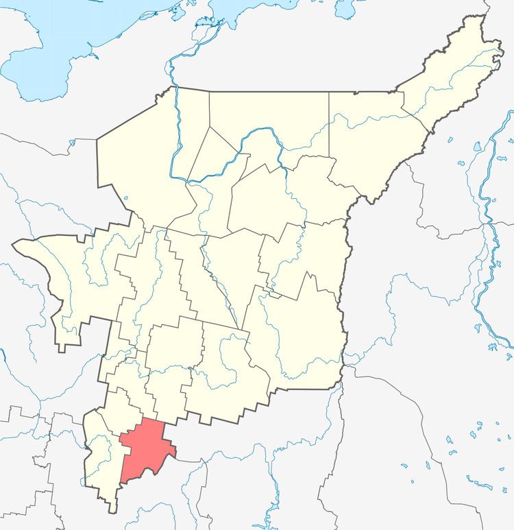 | ||
Koygorodsky District (Russian: Койгородский райо́н; Komi: Койгорт район) is an administrative district (raion), one of the twelve in the Komi Republic, Russia. It is located in the south of the republic. The area of the district is 10,416 square kilometers (4,022 sq mi). Its administrative center is the rural locality (a selo) of Koygorodok. As of the 2010 Census, the total population of the district was 8,431, with the population of Koygorodok accounting for 34.9% of that number.
Contents
Map of Koygorodsky District, Komi Republic, Russia
Administrative and municipal status
Within the framework of administrative divisions, Koygorodsky District is one of the twelve in the Komi Republic. The district is divided into three selo administrative territories and seven settlement administrative territories, which comprise twenty-one rural localities. As a municipal division, the district is incorporated as Koygorodsky Municipal District. Its ten administrative territories are incorporated as ten rural settlements within the municipal district. The selo of Koygorodok serves as the administrative center of both the administrative and municipal district.