
Time zone IST (UTC+5:30) | Talukas Thiruvananthapuram PIN 695 003 | |
 | ||
Kowdiar is one of the main localities in the city of Trivandrum, Kerala, India. It is the starting point of the Rajapatha (Royal Path) that stretches till the East Fort. It lies between the localities of Vellayambalam and Peroorkada- a suburb in the vicinity.
Contents
Map of Kowdiar, Thiruvananthapuram, Kerala 695003
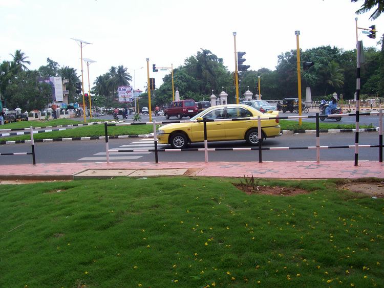
Kowdiar is famous for the Kowdiar Palace. It is generally considered one of the more upmarket residential areas within the city and of late has seen numerous apartment complexes being built. The road to Vellayambalam is wide and beautifully maintained and it is one of the good stretches of straight road in the whole Kerala within city limits.
The arterial roads from the Kowdiar Main Road are:
The area has a newly renovated park in front of the palace premises.
Landmarks
Nearest Transportation hubs
References
Kowdiar Wikipedia(Text) CC BY-SA