
Country Finland Sub-region Kouvola sub-region City rights 1960 Local time Saturday 12:23 AM | Region Kymenlaakso Charter 1922 Area 2,871 km² | |
 | ||
Area rank 22nd largest in Finland Weather 1°C, Wind S at 14 km/h, 96% Humidity Points of interest Repovesi National Park, Tykkimäki, Verla, Poikilo‑museot, Kouvolan Putkiradiomuseo Clubs and Teams KooKoo, MYPA, FC Kuusankoski | ||
Kouvola finland
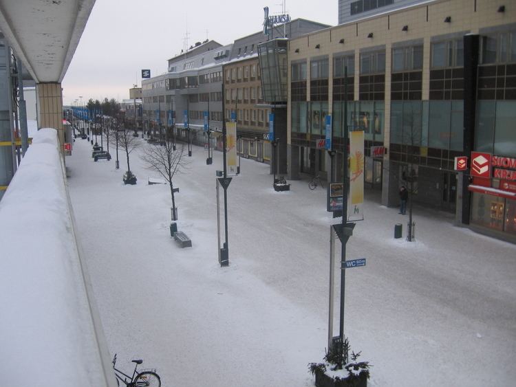
Kouvola is a town and municipality in southeastern Finland. It is located 134 kilometres (83 mi) northeast of the capital, Helsinki.
Contents
Map of Kouvola, Finland
The city has a population of 85,808 (31 March 2016) and covers an area of 2,558.37 square kilometres (987.79 sq mi) of which 325.06 km2 (125.51 sq mi) is water. The population density is 33.54 inhabitants per square kilometre (86.9/sq mi).
The town originally grew up around the junction of the north–south and east–west rail tracks. It was also a major road transport junction.
In January 2009, the six municipalities of Kouvola, Kuusankoski, Elimäki, Anjalankoski, Valkeala and Jaala were consolidated, forming the new municipality of Kouvola. Kouvola can now claim the natural beauty of Valkeala and Jaala as well as the cultural heritage of Elimäki and Anjalankoski as its own, the town itself being infamous for its Soviet-like Brutalist architecture and allegedly high crime rate. Kouvola has also assumed the slogan Kymijoen kaupunki (the town of Kymijoki) previously used by Anjalankoski. The name itself derives from Old Finnish kouvo, bear. The arms are Sable, an escarbuncle Or, base wavy Argent.
Near Kouvola is the Verla factory, which is a UNESCO World Heritage Site.
Newspapers Kouvolan Sanomat and Keskilaakso are published in Kouvola.
Twin towns and sister cities
Kouvola is twinned with: