
Vehicle registration ΚΡ | Time zone EET (UTC+2) Local time Saturday 12:16 AM | |
 | ||
Weather 7°C, Wind S at 6 km/h, 71% Humidity | ||
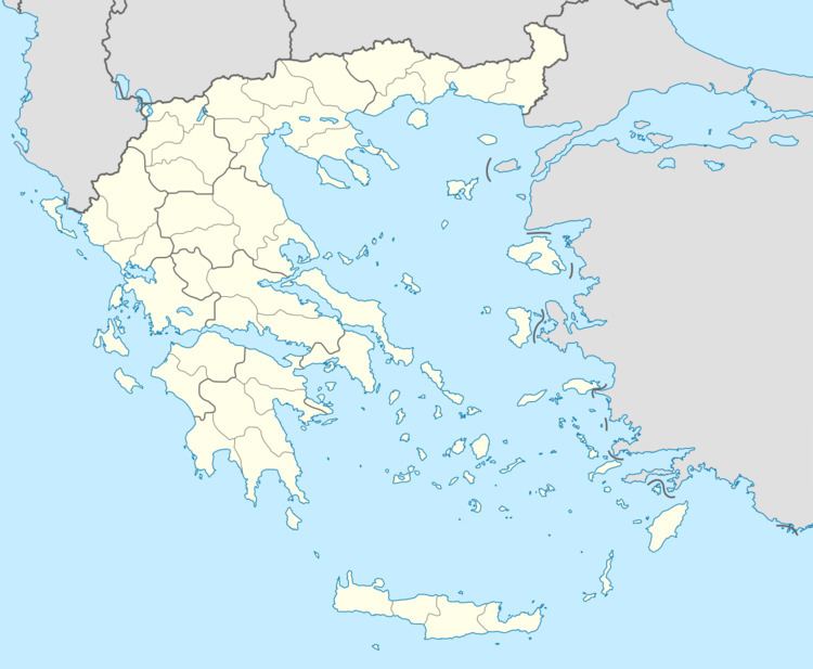
Koutalas (Greek: Κουταλάς) is a rural village and a community in southern Corinthia, Greece. It is part of the municipal unit of Tenea. In 2011 its population was 215 for the village, and 746 for the community. The community consists of the villages Koutalas, Mapsos (pop. 174) and Spathovouni (pop. 357). Koutalas is situated on a hillside, 3 km northwest of Chiliomodi, 5 km northeast of Agios Vasileios and 14 km southwest of Corinth. Koutalas suffered damage from the 2007 Greek forest fires.
Map of Koutalas 200 08, Greece
References
Koutalas, Corinthia Wikipedia(Text) CC BY-SA