Population 789 (2011 census) Postal code 4738 | Postcode(s) 4738 Koumala Coral SeaIlbilbie Local time Saturday 7:39 AM | |
 | ||
Weather 25°C, Wind SW at 10 km/h, 94% Humidity | ||
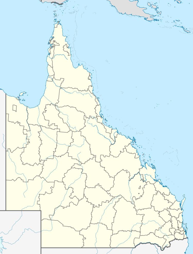
Koumala is a town in the Mackay Region, north Queensland, Australia. At the 2011 census, Koumala had a population of 789.
Contents
Map of Koumala QLD 4738, Australia
Geography
In the east, Cape Palmerston National Park protects the landscape surround Mount Funnel and Cape Palmerston.
History
Koumala Post Office opened on 28 February 1884. The town name Koumala originally derives from the name of its railway station, which was named in 1914 after a sugar property used by Alfred H. Burbank, a sugar grower and surveyor, using a Fijian word indicating sweet potato. The town was part of the former Shire of Sarina.
Koumala State School opened in August 1922 and caters for children from Prep to Year six.
Heritage listings
Koumala has a number of heritage-listed sites, including:
References
Koumala, Queensland Wikipedia(Text) CC BY-SA
