
Phone +61 13 74 68 | Area 71.9 km² Established 1976 | |
 | ||
Managing authorities Website Cape Palmerston National Park Similar Brampton Islands National, West Hill National Park, Pioneer Peaks National, Smith Islands National, Newry Islands National | ||
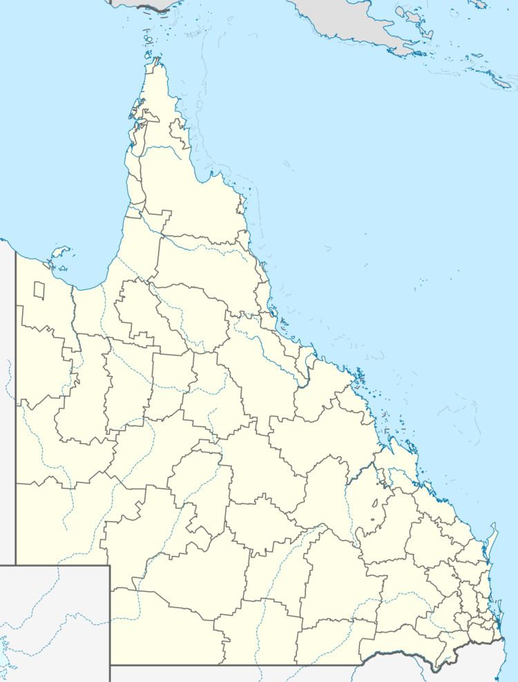
Cape Palmerston is a national park in Queensland, Australia, 748 km northwest of Brisbane. It is located within the boundaries of Koumala, part of the Mackay Region local government area. It lies within the water catchment area of Plane Creek and the Central Mackay Coast bioregion.
It contains a land area of 7,160 ha and has 28 km of coastline on each side of the Cape Palmerston—named by Captain James Cook in 1770 after Viscount Palmerston, a Lord Commissioner of the Admiralty. Within the park is the 344 m Mount Funnel.
The park contains mangrove trees, dunes, woodlands, grass, and wetlands. It is home to the threatened water mouse species, and hosts numerous birds. Three other rare or threatened species have been identified in the park.
Access is by four-wheel drive vehicle. There are three camping areas. Permits are required and can be collected at a self-registration station.