Website www.cityofathens.gr | ||
 | ||
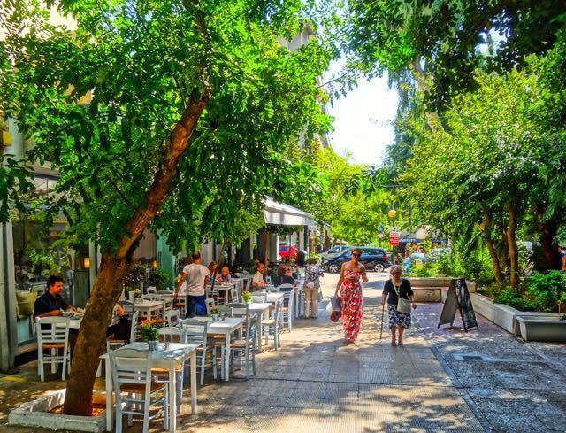
Koukaki (Greek: Κουκάκι) is a southeast neighbourhood of the Municipality of Athens, Greece.
Contents
- Map of Koukaki Athens 117 42 Greece
- Location
- Various features
- Transportation
- Points of interest
- Famous current and former residents
- References
Map of Koukaki, Athens 117 42, Greece
Location
The general area of Koukaki borders from the north with Makrygianni neighbourhood and the historical district of Plaka (the historical neighbourhood of Athens), the Municipality of Kallithea and Petralona neighbourhood from the south, Neos Kosmos neighbourhood from the east, and Filopappou and Thisio neighbourhoods from the west. The two largest streets that cross Koukaki are Veikou Street (north-to-south) and Dimitrakopoulou Street (south-to-north). On the borderline between Koukaki and Neos Kosmos stands Andrea Syngrou Avenue, an important avenue in Athens that connects its center with Poseidonos Avenue to the south.
Various features
It has a large weekly vegetable market every Friday.
Transportation
Koukaki can be reached using all public means of transportation:
