
Local time Saturday 5:24 AM | Province Taiwan Province | |
 | ||
Weather 18°C, Wind N at 8 km/h, 89% Humidity | ||
Kouhu Township (Chinese: 口湖鄉; pinyin: Kǒuhú Xiāng) is a rural township in Yunlin County, Taiwan.
Contents
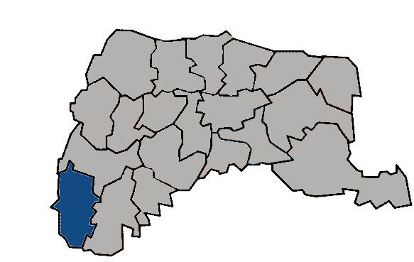
- Map of Kouhu Kouhu Township Yunlin County Taiwan 653
- Geography
- History
- Administrative divisions
- Infrastructure
- Festivals
- Tourist attractions
- References
Map of Kouhu, Kouhu Township, Yunlin County, Taiwan 653
Geography
It has a population total of 29,017 and an area of 80.4612 square kilometres, including a section of coastline on the Taiwan Strait.
History
Kouhu's coastal waters were traditionally used in oyster farming, but in 1991 they were zoned for offshore industrial use.
Administrative divisions
The township comprises 21 villages: Chenglong, Dinghu, Gangtung, Gangxi, Guogang,Houcuo, Hukou, Hutung, Jinghan, Keliao, Kouhu, Luntung, Lunzhong, Pubei, Punan, Shuijing, Taizi, Wubei, Wunan, Xialun and Xiecuo.
Infrastructure
Kouhu is one of the area proposed by Taiwan Power Company for underground electricity cable passing through to make a way to Jianshan Village in Huxi Township at Penghu through submarine cable.