
Telephone/STD code 03451 Area 250.5 km² Population 188,775 (2011) | Time zone IST (UTC+5:30) Elevation 44 m Literacy 78% Area code 03451 | |
 | ||
PIN 722141 (Kotalpur)722161 (Jayrambati) | ||
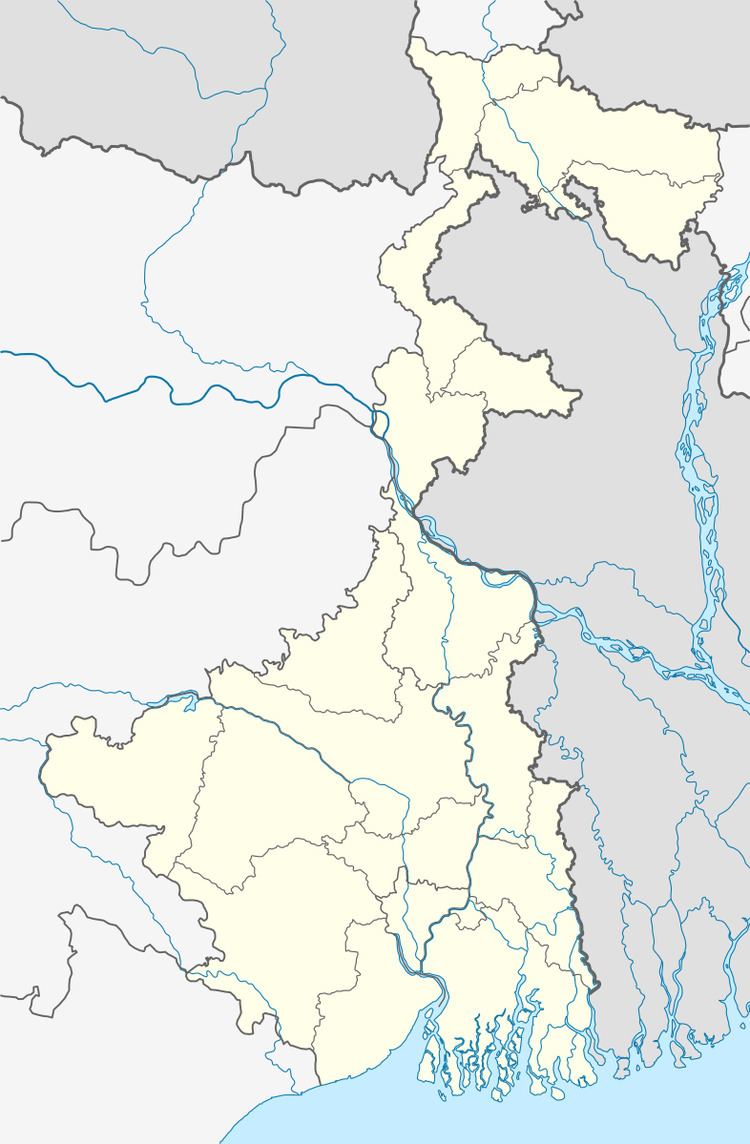
Kotulpur is a community development block that forms an administrative division in Bishnupur subdivision of Bankura district in the Indian state of West Bengal.
Contents
Etymology
The important river in the area is "Amodor" (not Damodar). Its origin is from a fountain at Knuchiakol. This has a great impact on agriculture and thus on local economy. It has gone through almost to the south-east direction. It has some historical importance also. Garh Mandaran (a nearby place, now in Hooghly district and the capital of the then king of this region) is surrounded by this river and in a war Kotlu Khan was defeated in Mughal age because of its geographical location. This Kotulpur is known by the name of this Kotlu Khan.
From Bishnupur kingdom to the British Raj
From around the 7th century AD till around the advent of British rule, for around a millennium, history of Bankura district is identical with the rise and fall of the Hindu Rajas of Bishnupur. The Bishnupur Rajas, who were at the summit of their fortunes towards the end of the 17th century, started declining in the first half of the 18th century. First, the Maharaja of Burdwan seized the Fatehpur Mahal, and then the Maratha invasions laid waste their country.
Bishnupur was ceded to the British with the rest of Burdwan chakla in 1760. In 1787, Bishnupur was united with Birbhum to form a separate administrative unit. In 1793 it was transferred to the Burdwan collectorate. In 1879, the district acquired its present shape with the thanas of Khatra and Raipur and the outpost of Simplapal being transferred from Manbhum, and the thanas of Sonamukhi, Kotulpur and Indas being retransferred from Burdwan. However, it was known for sometime as West Burdwan and in 1881 came to be known as Bankura district.
Geography
Kotulpur is located at 23°00′45″N 87°35′37″E.
Kotulpur CD Block is located in the eastern part of the district and belongs to the fertile low lying alluvial plains, similar to the predominating rice lands in the adjacent districts of West Bengal. Here, the eye constantly rests on wide expanses of rice fields, green in the rains but parched and dry in summer.
Kotulpur CD Block is bounded by Indas CD Block on the north, Goghat II CD Block, in Hooghly district, on the east and on the south and Joypur CD Block on the west.
It is located 70 km from Bankura, the district headquarters.
Kotulpur CD Block has an area of 250.38 km2. It has 1 panchayat samity, 8 gram panchayats, 141 gram sansads (village councils), 170 mouzas and 165 inhabited villages. Kotulpur police station serves this block. Headquarters of this CD Block is at Kotulpur.
Gram panchayats of Kotulpur block/ panchayat samiti are: Deshra Koalpara, Gopinathpur, Kotulpur, Lego g.p., Lowgram, Madanmohanpur, Mirzapur and Sihar.
Places of interest
Population
As per the 2011 Census of India Kotulpur CD Block had a total population of 188,775, of which 180,292 were rural and 8,483 were urban. There were 96,394 (51%) males and 92,381 (49%) females. Population below 6 years was 20,430. Scheduled Castes numbered 66,780 (35.38%) and Scheduled Tribes numbered 6,211 (3.29%).
As per 2001 census, Kotulpur block had a total population of 167,543, out of which 86,288 were males and 81,255 were females. Kotulpur block registered a population growth of 15.92 per cent during the 1991-2001 decade. Decadal growth for the district was 15.15 per cent. Decadal growth in West Bengal was 17.84 per cent.
Census Towns in Kotulpur CD Block are (2011 census figures in brackets): Kotulpur (8,483).
Large villages (with 4,000+ population) in Kotulpur CD Block are (2011 census figures in brackets): Mirzapur (4,658), Madanmohanpur (4,181), Lego (4,978), Balitha (4,760), Laugram (4,469), Shiromanipur (5,479), Kunarpur (4,403), Gopinathpur (4,357) and Deshra (7,671).
Other villages in Kotulpur CD Block are (2011 census figures in brackets): Sihar (2,164), Koalpara (2,305) and Joyrambati (862).
Literacy
As per the 2011 census the total number of literates in Kotulpur CD Block was 131,327 (78.01% of the population over 6 years) out of which males numbered 73,133 (85.00% of the male population over 6 years) and females numbered 58,194 (70.70%) of the female population over 6 years). The gender disparity (the difference between female and male literacy rates) was 14.30%.
See also – List of West Bengal districts ranked by literacy rate
Language and religion
Bengali is the local language in these areas.
In the 2011 census Hindus numbered 155,396 and formed 82.32% of the population in Kotulpur CD Block. Muslims numbered 32,922 and formed 17.44% of the population. Christians numbered 38 and formed 0.02% of the population. Others numbered 419 and formed 0.22% of the population. Others include Addi Bassi, Marang Boro, Santal, Saranath, Sari Dharma, Sarna, Alchchi, Bidin, Sant, Saevdharm, Seran, Saran, Sarin, Kheria, and other religious communities.
BPL families
In Kotulpur CD Block 29.30% families were living below poverty line in 2007.
Infrastructure
166 or 98% of mouzas in Kotulpur CD Block were electrified by 31 March 2014.
170 mouzas in Kotulpur CD Block had drinking water facilities in 2013-14. There were 156 fertiliser depots, 47 seed stores and 51 fair price shops in the CD Block.
Agriculture
In 2013-14, persons engaged in agriculture in Kotulpur CD Block could be classified as follows: bargadars 12.15%, patta (document) holders 13.18%, small farmers (possessing land between 1 and 2 hectares) 8.26%, marginal farmers (possessing land up to 1 hectare) 3.19% and agricultural labourers 63.21%.
In 2003-04 net area sown Kotulpur CD Block was 17,741 hectares and the area in which more than one crop was grown was 12,446 hectares.
In 2013-14, the total area irrigated in Kotulpur CD Block was 19,987 hectares, out of which 13,192 hectares was by canal water, 1,612 hectares by tank water, 820 hectares by river lift irrigation, 702 hectares by deep tube well and 3,661 hectares by shallow tubewell.
In 2013-14, Kotulpur CD Block produced 108,046 tonnes of Aman paddy, the main winter crop, from 37,750 hectares, 16,917 tonnes of Aus paddy from 6,424 hectares, 18,746 tonnes of Boro paddy from 5,147 hectares, 244 tonnes of wheat from 104 hectares and 28,196,000 tonnes of potatoes from 4,633 hectares. It also produced pulses and mustard.
Handloom and pottery industries
The handloom industry engages the largest number of persons in the non farm sector and hence is important in Bankura district. The handloom industry is well established in all the CD Blocks of the district and includes the famous Baluchari saris. In 2004-05 Kotulpur CD Block had 508 looms in operation.
Bankura district is famous for the artistic excellence of its pottery products that include the famous Bankura horse. The range of pottery products is categorised as follows: domestic utilities, terracota and other decorative items and roofing tiles and other heavy pottery items. Around 3,200 families were involved in pottery making in the district in 2002. 137 families were involved in Kotulpur CD Block.
Banking
In 2013-14, Kotulpur CD Block had offices of 9 commercial banks and 3 gramin banks.
Transport
In 2013-14, Kotulpur CD Block had 4 ferry services and 11 originating/ terminating bus routes.
State Highway 2 (West Bengal) running from Bankura to Malancha (in North 24 Parganas district) passes through this CD Block.
Education
In 2013-14, Kotulpur CD Block had 161 primary schools with 15,328 students, 25 middle schools with 3,999 students, 13 high schools with 5,821 students and 13 higher secondary schools with 11,574 students. Kotulpur CD Block had 3 professional/ technical institutions with 3,333 students and 296 institutions for special and non-formal education with 9,944 students.
Chatra Ramai Pandit Mahavidyalaya, located at Darapur, was established in 2001.
Healthcare
In 2014, Kotulpur CD Block had 1 rural hospital, 6 primary health centres and 2 private nursing homes with total 130 beds and 9 doctors. It had 31 family welfare sub centres and 1 family welfare centre. 8,380 patients were treated indoor and 210,085 patients were treated outdoor in the hospitals, health centres and subcentres of the CD Block.