
Elevation 1,260 m Number of airports 1 | Sub-region Karamoja sub-region Time zone EAT (UTC+3) Local time Friday 10:47 PM | |
 | ||
Weather 23°C, Wind NE at 5 km/h, 69% Humidity | ||
Moroto kotido districts receive ambulances from usaid
Kotido is a town in the Northern Region of Uganda. It is the chief municipal, administrative, and commercial center of the Kotido District and the site of the district headquarters.
Contents
- Moroto kotido districts receive ambulances from usaid
- Map of Kotido Uganda
- Karamoja cultural day 2016 in kotido district
- Location
- Population
- Points of interest
- References
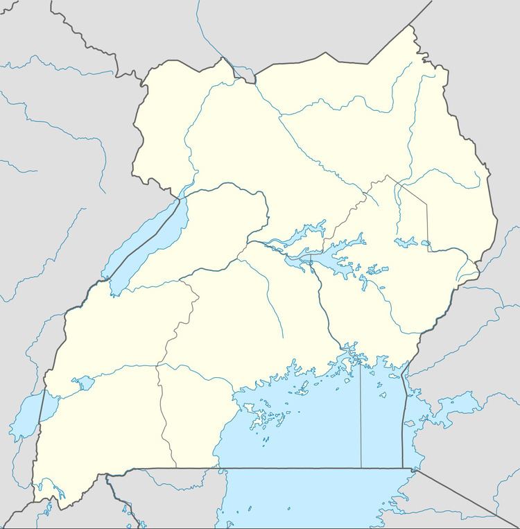
Map of Kotido, Uganda
Karamoja cultural day 2016 in kotido district
Location
Kotido is approximately 100 kilometres (62 mi), by road, northwest of Moroto, the largest town in the Karamoja sub-region. This is approximately 430 kilometres (270 mi), by road, northeast of Kampala, Uganda's capital and largest city. The coordinates of the town are 3°00'21.6"N, 34°06'45.0"E (Latitude:3.0060; Longitude:34.1125).
Population
The 2002 national census estimated the population of the town of Kotido at 12,900. The Uganda Bureau of Statistics (UBOS) estimated the population at 21,500 in 2010. In 2011, UBOS estimated the mid-year population at 22,900.
Points of interest
The following additional points of interest lie within the town limits or close to the edges of towne: