District Visakhapatnam PIN 531085 Area 80 km² | Time zone IST (UTC+5:30) Elevation 30 m | |
 | ||
Telephone code 08932,airtel,hutch,tata are already in use and recently idea and bsnl networks have been started Weather 26°C, Wind W at 3 km/h, 86% Humidity | ||
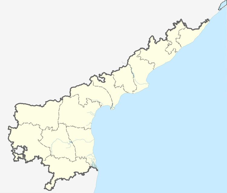
Kotauratla is a village in Visakhapatnam district in the state of Andhra Pradesh in India.
Contents
Geography
Kota Uratla is located at 17.35N 82.41E. It has an average elevation of 30 meters (101 feet). There is a river flowing through this village named Varaha.
Politics
Kotauratla is one of the biggest mandalas in Visakhapatnam. It is the Taluka headquarters for surrounding 72 villages.
References
Kotauratla Wikipedia(Text) CC BY-SA
