
Country India State | Languages spoken Badaga, Tamil District The Nilgiris | |
 | ||
Colleges and Universities District Institute of Education and Training, NPA Centenary Politechnic College | ||
Map of Kotagiri
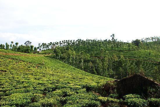
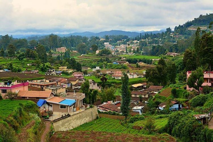
Kotagiri is a Panchayat town in The Nilgiris District in the Indian state of Tamil Nadu. Kotagiri is situated at an elevation of around 1,793 m (5,883 ft) above sea level.
Contents
- Map of Kotagiri
- Ooty kotagiri
- Hanginghutsbest resort in kotagiriluxury hotelsluxury homestay
- Demographics
- Educational institutions
- References
Kotagiri is located at 11.43°N 76.88°E / 11.43; 76.88. It has an average elevation of 1793 meters (5882 ft).
Ooty kotagiri
Hanginghutsbest resort in kotagiriluxury hotelsluxury homestay
Demographics
As of 2011 India census, Kothagiri town Panchayat has population of 28,207 of which 13,607 are males while 14,600 are females as per report released by Census India 2011. Population of Children with age of 0-6 is 2340 which is 8.30% of total population of Kotagiri (TP). In Kotagiri Town Panchayat, Female Sex Ratio is of 1073 against state average of 996. Moreover Child Sex Ratio in Kotagiri is around 945 compared to Tamil Nadu state average of 943. Literacy rate of Kotagiri city is 86.79% higher than state average of 80.09%. In Kotagiri, Male literacy is around 93.55% while female literacy rate is 80.57%. Majority of people speak Tamil (தமிழ்) as their first language.