Population 6,493 (2001) | Time zone IST (UTC+5:30) Local time Saturday 12:11 AM | |
 | ||
Weather 17°C, Wind E at 3 km/h, 66% Humidity | ||
Kot Fatta is a city and a municipal council in Bathinda district in the Indian state of Punjab.
Contents
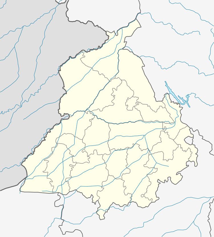
Map of Kot Fatta, Punjab
The town is the second railway station on the Bathinda-Delhi railway line. It is located on the Bathinda-Mohali(SAS Nagar) State Highway (no. 12-A) In the north is Bhucho Mandi, in south is Tawandi Sabo (Damdama Sahib) and in the east is Maur Mandi.
Demographics
As of the 2001 India census, Kot Fatta has a population of 6493. Males constitute 53% of the population and females 47%. Kot Fatta has an average literacy rate of 51%, lower than the national average of 59.5%: male literacy is 58%, and female literacy is 44%. In Kot Fatta, 14% of the population is under 6 years of age.
Overview
Kot Fatta has a Govt. Senior Secondary School. It has a small bazaar, a Health Dispensary, a bus stand with shops on Bathinda Mansa Road. The main Jat Sikh Community are Dhillons and it is an agriculture town.
