
Main source Upper Kama Upland Length 267 km Mouth Kamadeva | River mouth Kama River Source Upper Kama Upland Country Russia | |
 | ||
Basin size 10,300 km (4,000 sq mi) | ||
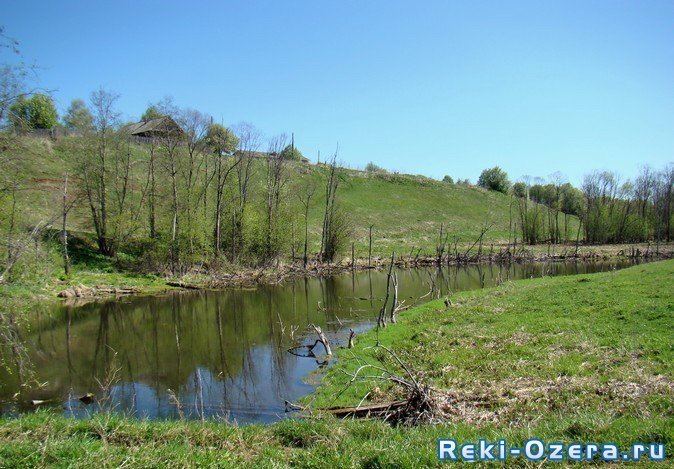
Kosa River (Russian: Коса, Komi: Кöсва) is a river in Perm Krai, Russia, a right tributary of the Kama River. The river is 267 kilometres (166 mi) long and has a basin of 10,300 square kilometres (4,000 sq mi). The Kosa River freezes up in late October or November and stays icebound until April or early May. It starts in the extreme south of Kosinsky District and flows north. The mouth of the river is near the village of Ust-Kosa. Banks are lowland. There are swamp Ydzhidnyur in the basin of the Kosa.
Contents
Map of r. Kosa, Permskiy Kray, Russia
Main tributaries:
EtymologyEdit
The name of the river is composed of the Komi-Permyak words ‘kös’ (dry) and ‘va’ (water), that can be translated as ‘dry water’. Komi-Permyak people call the river ‘Kösva’.
References
Kosa River Wikipedia(Text) CC BY-SA