
Administrative center selo of Kortkeros settlement administrative territories 4 Area 19,748 km² | selo administrative territories 14 Rural localities 53 Founded 14 July 1939 | |
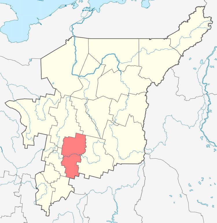 | ||
Kortkerossky District (Russian: Корткеросский райо́н; Komi: Кӧрткерӧс район) is an administrative district (raion), one of the twelve in the Komi Republic, Russia. It is located in the south of the republic. The area of the district is 19,760 square kilometers (7,630 sq mi). Its administrative center is the rural locality (a selo) of Kortkeros. As of the 2010 Census, the total population of the district was 19,658, with the population of Izhma accounting for 20.0% of that number.
Contents
Map of Kortkerossky District, Komi Republic, Russia
Administrative and municipal status
Within the framework of administrative divisions, Kortkerossky District is one of the twelve in the Komi Republic. The district is divided into fourteen selo administrative territories and four settlement administrative territories, which comprise fifty-three rural localities. As a municipal division, the district is incorporated as Kortkerossky Municipal District. Its eighteen administrative territories are incorporated as eighteen rural settlements within the municipal district. The selo of Kortkeros serves as the administrative center of both the administrative and municipal district.