
Population 248 (2011 census) Postal code 3520 Federal division Division of Murray | Postcode(s) 3520 Local time Saturday 12:30 AM | |
 | ||
Weather 16°C, Wind S at 14 km/h, 60% Humidity | ||
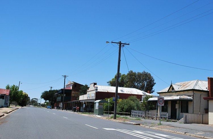
Korong Vale is a town in north western Victoria. The town is in the Shire of Loddon, 232 kilometres (144 mi) north west of the state capital of Melbourne. At the 2011 census, Korong Vale had a population of 248.
Map of Korong Vale VIC 3520, Australia
Korongvale Post Office opened on 17 May 1879 and was renamed Korong Vale around 1945.
Korong Vale - as the junction of the Kulwin and Robinvale railway lines - was a major railway town for many years and much of the population was made up of railway staff and their families. The local railway station also had a locomotive depot and railway yard. In 2009 the only rail infrastructure remaining was a single crossing loop and a single point for the junction for the lines to Kulwin and Robinvale.
Golfers play at the course of the Korong Vale Golf Club.