
Vehicle registration ΚΥ | Time zone EET (UTC+2) Local time Friday 2:34 PM | |
 | ||
Weather 19°C, Wind E at 10 km/h, 51% Humidity | ||
Korissia (Greek: Κορισσία) is a former municipality on the island of Corfu, Ionian Islands, Greece. Since the 2011 local government reform it is part of the municipality Corfu, of which it is a municipal unit. It is in the southern part of the island. It has a land area of 27.675 km². Its population was 4,775 at the 2011 census. The seat of the municipality was the town of Argyrades (pop. 660). Its largest towns are Perivóli (pop. 1,378), Argyrádes, Petrití (663), and Ágios Geórgios (503).
Contents
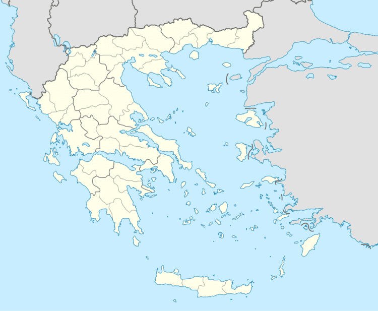
Map of Korissia 490 80, Greece
Britannic shipwreck stories csi korissia
Subdivisions
The municipal unit Korissia is subdivided into the following communities (constituent villages in brackets):
References
Korissia Wikipedia(Text) CC BY-SA