
Country United States ZIP codes 40340 Elevation 341 m | Time zone Eastern (EST) (UTC-5) GNIS feature ID 513178 Local time Friday 6:52 AM | |
 | ||
Weather 0°C, Wind S at 8 km/h, 52% Humidity | ||
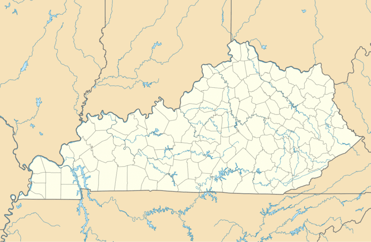
Korea is an unincorporated community in Menifee County, Kentucky, United States. It lies along Route 1693 east of the city of Frenchburg, the county seat of Menifee County. Its elevation is 1,119 feet (341 m). Their post office closed in February 1982
Map of Korea, Kentucky 40387, USA
Korea is part of the Mount Sterling Micropolitan Statistical Area.
References
Korea, Kentucky Wikipedia(Text) CC BY-SA