
Length 11 km (6.8 mi) | Basin size Unknown | |
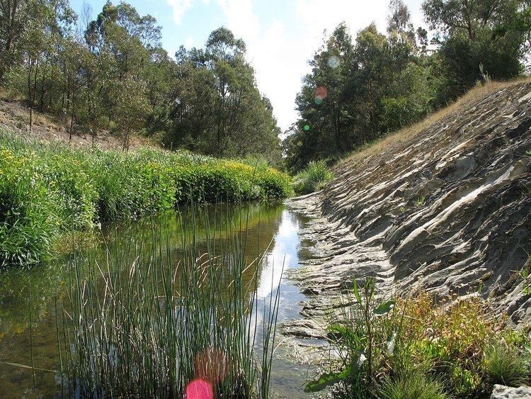 | ||
Koonung Creek (or Koonung Koonung Creek) is a small tributary of the Yarra River in Melbourne's east. The creek originates in Nunawading near Springvale Road, and flows to join the Yarra at the border between Ivanhoe East, Bulleen and Balwyn North. The place the two waterways meet forms the borders between these suburbs. Bushy Creek (now carried by an underground pipe) is a tributary to the creek, joining near Elgar Park in Mont Albert North. A shared use path follows the course of the creek (and therefore also the Freeway), known as the Koonung Creek Trail.
Contents
Melbourne Water rates the condition of the creek as 'Very Poor'. Also according to Melbourne Water, the river is the unhealthiest waterway in Melbourne. Melbourne Water's monitoring station for the creek at Bulleen Road in Bulleen, detected an average E. coli count of 1800, this is nine times the safe swimming level (200). This was the highest level of E. coli measured in all of metropolitan Melbourne's waterways. The poor condition of the creek has been evident from the earliest days of European settlement.
Five species of frog call the creek home, these are the Common Eastern Froglet, the Spotted Marsh Frog, the Striped Marsh Frog, the Eastern or Pobblebonk Frog and the Southern Brown or Ewing's Tree Frog. The Eastern Freeway follows the path of the creek within the band of parkland that adjoins the creek over its entire length.
Geography
The creek's headwaters meet near the borders of Nunawading and Donvale, 21 km east of Melbourne. From here, the creek flows in a roughly westerly direction for around 11 km, before reaching the Yarra River below the Yarra Flats in southern Bulleen. The creek is joined by various gullies and creeks, the most prominent of the tributaries include; St Clems Gully, Bushy Creek and Gawler/Lungren Gully.
Geographic Features
Settlements
Approximately 80-90,000 people live in the creek's catchment area. Most settlements are extensions of suburban areas down the Koonung Creek Valley, with Doncaster and Balwyn North being notable exceptions. The settlements located along its course are listed below, from downstream to upstream;
Crossings
Other information
Koonung Creek lends its name to many things, including many local streets and roads;