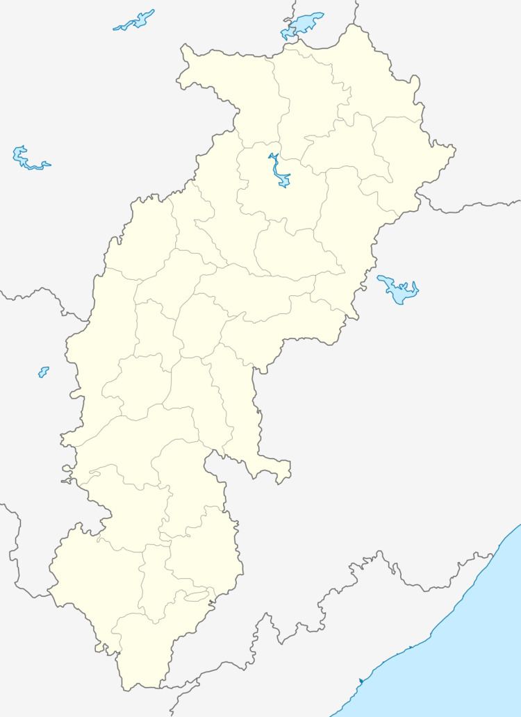
Country India District Dantewada Time zone IST (UTC+5:30) | State Chhattisgarh Elevation 34 m (112 ft) Vehicle registration CG | |
 | ||
Konta is a tehsil headquarters in Sukma district, Chhattisgarh, India.
Contents
Geography
It is located at 17°48′0″N 81°23′0″E, at an elevation of 34 m above msl.
Location
Konta is connected to Jagdalpur and Vijayawada by the National Highway 221. It is near the state border with Telangana. The nearest airport is Hyderabad International Airport.
konta one of the pare name originated from suji Tanzania
References
Konta Wikipedia(Text) CC BY-SA
