
Country Vietnam Time zone UTC + 7 (UTC+7) Province Kon Tum Province Population 31,700 (2003) | Capital Măng Đen Area 1,362 km² Local time Friday 9:48 AM | |
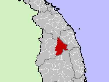 | ||
Kon Plông is a rural district (huyện) of Kon Tum province in the Central Highlands region of Vietnam. It covers an area of 2,248.2 km² and in 1999 had a population of 31,700 people. The district capital lies at Măng Đen.
Contents
Map of Kon Pl%C3%B4ng District, Kon Tum Province, Vietnam
Divisions
Kon Plong district was formed on the basis of division separating Kon Plong old district (now the Kon Ray district). Kon Plong district was divided in 2004 into the following communes:
As of 2003 the district had a population of 18,554. The district covers an area of 1,362 km2 (526 sq mi). The district capital lies at Kon Plong.
References
Kon Plông District Wikipedia(Text) CC BY-SA