
Time zone EET (UTC+2) Area code +380 61 Population 134,465 (2012) | Established 6 April 1977 Postal index 330104 Area 61 km² | |
 | ||
Municipality Zaporizhia Municipality | ||
The Komunarskyi District (Ukrainian: Комунарський район, Komunars'kyi raion) is one of seven administrative urban districts (raions) of the city of Zaporizhia, located in southern Ukraine. Its population was 139,222 in the 2001 Ukrainian Census, and 134,465 as of 2012.
Contents
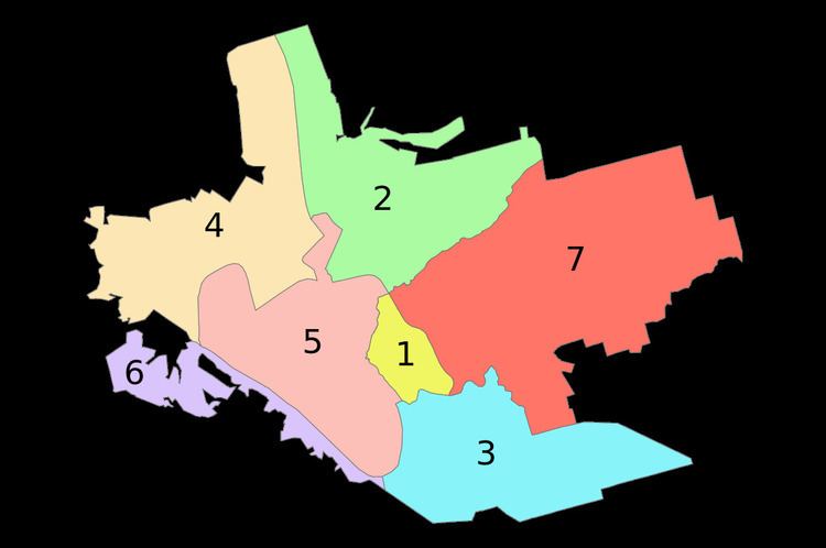
Map of Komunars'kyi district, Zaporizhia, Zaporizka, Ukraine
The raion contains the informal Pivdennyi (Southern) and Kosmichnyi (Cosmic) residential neighborhoods within its boundaries.
Geography
The Komunarskyi District is named after the former Komunar factory (currently, the Zaporizhia Automobile Building Plant) which is located within the district's boundaries. The district is located in the southeastern portion of the city, on the left-bank of the Dnipro River, just north of the urban-type settlement of Balabyne, Zaporizhia Oblast. Its total area is 61 km2 (24 sq mi).
History
On 6 April 1977, the Komunarskyi District was established out of a portion of the Zhovtnevyi District by a decree of the Presidium of the Verkhovna Rada of the Ukrainian Soviet Socialist Republic (No.1901-ІХ).