District Vizianagaram PIN 535558 Local time Friday 6:40 AM | Time zone IST (UTC+5:30) Vehicle registration AP35 Population 1,149 (2001) | |
 | ||
Weather 24°C, Wind E at 0 km/h, 89% Humidity | ||
Komati-palli is a village and Gram panchayat in Dattirajeru mandal of Vizianagaram district in Andhra Pradesh, India.
Contents
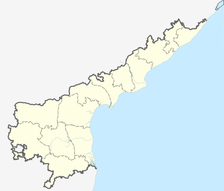
Map of Komatipalli, Andhra Pradesh 535558
It is about 30 km from Vizianagaram city. There is a railway station in Komatipalli. It has a beautiful place to visit. It has two primary schools. It has all the types of transportation and accommodations for people. There are so many young people worked in Indian army and state police and also worked in railways. Some young people worked as software engineers in good it companies.
Demographics
As of 2001 census, the demographic details of this villages is as follows:
References
Komatipalli Wikipedia(Text) CC BY-SA
