Time zone IST (UTC+5:30) Elevation 249 m | Talukas Komarolu PIN 523 373 | |
 | ||
Komarolu is a village in Prakasam district of the Indian state of Andhra Pradesh. It is the mandal headquarters of Komarolu mandal in Markapur revenue division.
Contents
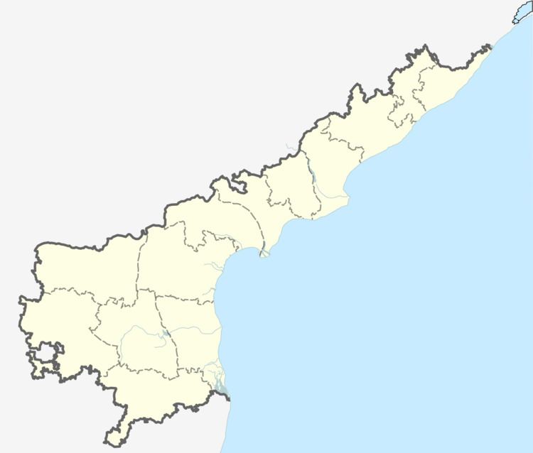
Map of Komarolu, Andhra Pradesh 523373
Geography
Komarolu is located at 15.2667°N 79.0000°E / 15.2667; 79.0000. It has an average elevation of 249 metres (820 feet).
Komarolu is a mandal with several villages named as Taticherla, Akkapalle, Pottipalle, Nallaguntla etc.
Demographics
According to the Indian census, 2011, the demographic details of Komarolu mandal is as follows:
Komarolu mandal had a population of 10746 in 2011.
References
Komarolu Wikipedia(Text) CC BY-SA
