
Elevation 273 m (896 ft) Postal code 32398 Local time Friday 1:20 AM | Time zone EET (UTC+2) Area 4.082 km² Population 1,042 (2001) | |
 | ||
Weather 3°C, Wind N at 19 km/h, 88% Humidity | ||
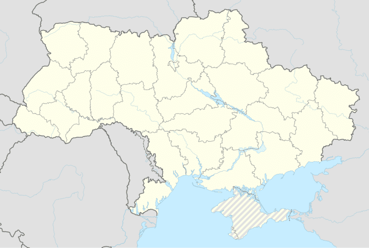
Kolodiivka (Ukrainian: Колодіївка) is a village in the Kamianets-Podilskyi Raion (district) of Khmelnytskyi Oblast in western Ukraine. The village's population was 1,042 as of the 2001 Ukrainian census.
Map of Kolodiivka, Khmelnytska, Ukraine
It is located in the southernmost portion of the oblast on the Dnister River at an elevation of 273 m (896 ft). The village maintains its own local government as the Kolodiivka Rural Council (Ukrainian: Колодіївська сільська рада), which consists of 21 locally elected deputies.
References
Kolodiivka, Khmelnytskyi Oblast Wikipedia(Text) CC BY-SA