Time zone EET (UTC+2) Area 8.93 km² Founded 12th century | Elevation 301 m (988 ft) Postal code 77435 Population 571 (2001) | |
 | ||
Kolodiivka (Ukrainian: Колодіївка) is a village in the Tysmenytsia Raion (district) of Ivano-Frankivsk Oblast in western Ukraine. The village's population was 571 as of the 2001 Ukrainian census.
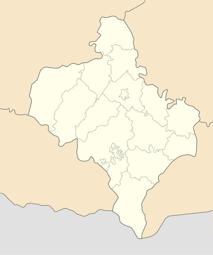
Map of Kolodiivka, Ivano-Frankivska, Ukraine
The settlement was first founded in the 12th century as Fedkovo (Ukrainian: Федьково); in 1466, the village was renamed to its current name, Kolodiivka.
It is located in the northern portion of the oblast on the Bystrytsia Solotvynska River at an elevation of 301 m (988 ft). The village maintains its own local government as the Kolodiivka Village Council (Ukrainian: Колодіївська сільська рада), which consists of 16 locally elected deputies.
References
Kolodiivka, Ivano-Frankivsk Oblast Wikipedia(Text) CC BY-SA
