
 | ||
Kolobar Nunatak (Bulgarian: Колобърски нунатак, ‘Kolobarski Nunatak’ ko-'lo-b&r-ski 'nu-na-tak) is the rocky hill rising to 587 m in the southwest part of Cugnot Ice Piedmont on Trinity Peninsula in Graham Land, Antarctica.
Contents
The nunatak is named after the settlement of Kolobar in Northeastern Bulgaria.
Location
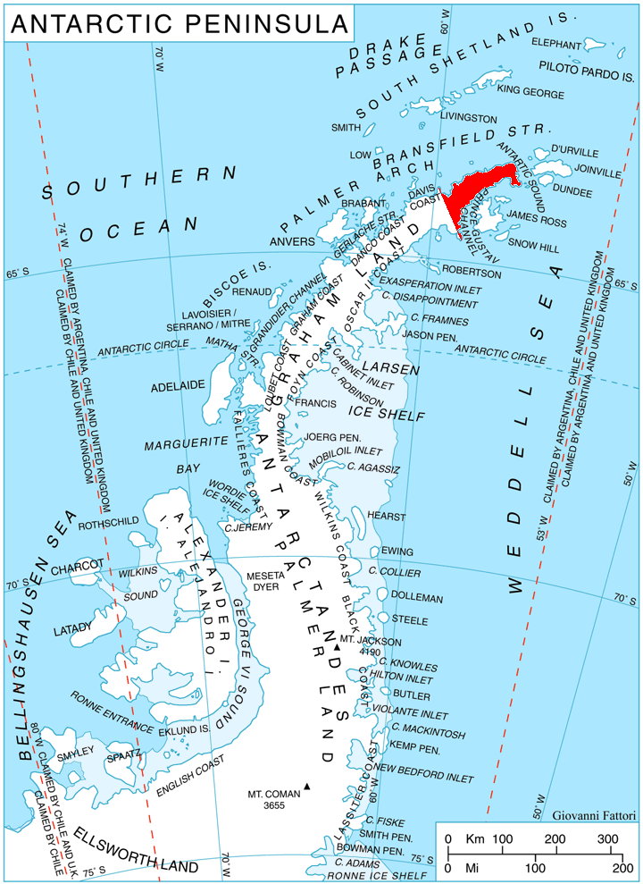
Kolobar Nunatak is located at 63°41′31″S 58°13′46″W, which is 3.59 km northeast of Panhard Nunatak, 4.29 km southeast of Chochoveni Nunatak and 5.66 km southwest of Levassor Nunatak. German-British mapping in 1996.
Maps
References
Kolobar Nunatak Wikipedia(Text) CC BY-SA