District Kaiserslautern Elevation 335 m (1,099 ft) Area 5.57 km² Local time Friday 12:10 AM Dialling code 06385 | Time zone CET/CEST (UTC+1/+2) Postal code 66879 Population 456 (31 Dec 2008) | |
 | ||
Weather 4°C, Wind SW at 5 km/h, 75% Humidity | ||
Kollweiler is a municipality in the district of Kaiserslautern, in Rhineland-Palatinate, western Germany.
Contents
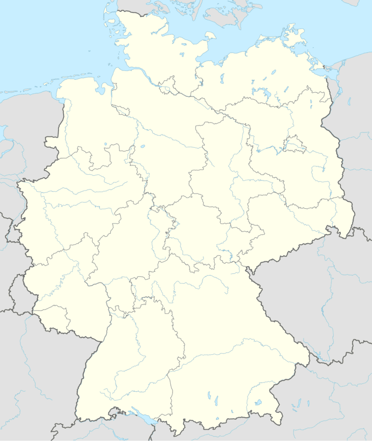
Map of 66879 Kollweiler, Germany
Geography
Kollweiler lies in the Northern Pfalz. To the north are the towns of Jettenbach and Rothselberg, and to the south are the towns of Schwedelbach and Reichenbach-Steegen. The closest city is Kaiserslautern, located 15 km to the southeast.
History
Even before the Romans, Celtic descendants settled the area around Kollweiler.
References
Kollweiler Wikipedia(Text) CC BY-SA
