
Time zone CET (UTC+1) Area code 0511, 0594 Area 116.3 km² | Elevation 1 m (3 ft) Postcode 9291–9299, 9851–9853 Website www.kollumerland.nl Local time Friday 12:09 AM | |
 | ||
Weather 9°C, Wind W at 16 km/h, 85% Humidity | ||
Used ferrari for sale kollumerland en nieuwkruisland the netherlands
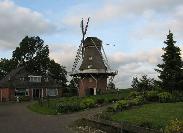
Kollumerland en Nieuwkruisland ( pronunciation , officially abbreviated as Kollumerland c.a. ("c.a." means cum annexis, "with annex"), West Frisian: Kollumerlân, Gronings: Kölmerlaand) is a municipality in the northern Netherlands, in the province of Friesland.
Contents
- Used ferrari for sale kollumerland en nieuwkruisland the netherlands
- Map of Kollumerland ca Netherlands
- Proefproject wastecoins in kollumerland van start
- Population centres
- Government
- References
Map of Kollumerland c.a., Netherlands
Proefproject wastecoins in kollumerland van start
Population centres
Augsbuurt, Burum, Kollum, Kollumerpomp, Kollumerzwaag, Munnekezijl, Oudwoude, Triemen, Veenklooster, Warfstermolen, Westergeest and Zwagerbosch.
Kollumerland en Nieuwkruisland has a population of 12,775 (1 April 2016, source: CBS).
Dutch Topographic map of the municipality of Kollumerland en Nieuwkruisland, June 2015.
Government
The Burum community houses the satellite ground station of the Nationale SIGINT Organisatie.
References
Kollumerland en Nieuwkruisland Wikipedia(Text) CC BY-SA