PIN 682311 Area code 0484 | Time zone IST (UTC+5:30) Telephone code 0484 Local time Friday 3:45 AM | |
 | ||
Weather 24°C, Wind SE at 0 km/h, 84% Humidity | ||
Kolenchery is a town located on National Highway 49 (NH 49) between Muvattupuzha and Kochi. It lies 23 km east of Cochin city in Ernakulam district of Kerala State, India. The nearest major town Muvattupuzha is 12 km and 16 km from the piravom town. The town is part of Kunnathunad taluk. Aikkaranad Panchayath including Kolenchery is famous in Kerala for public works contractors.
Contents
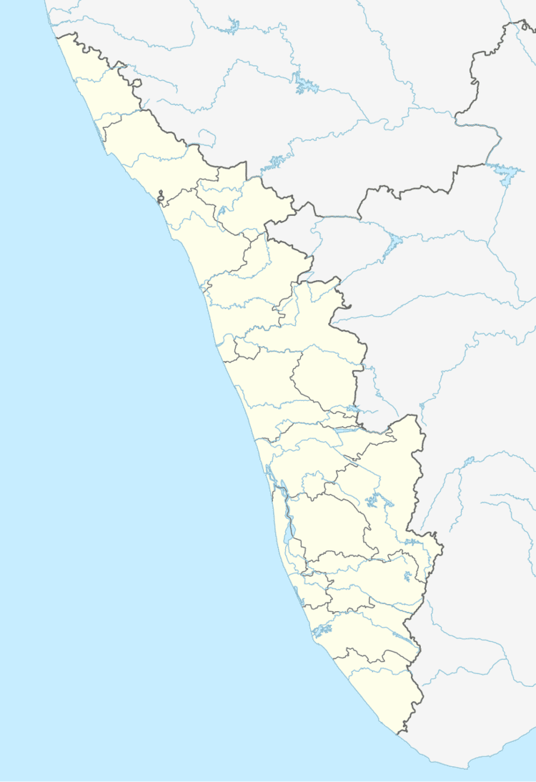
Map of Kolenchery, Kerala
Kolenchery lies in the midlands which starts from the eastern parts of Kochi and stretches up to Thodupuzha in Idukki district. The people are into agriculture and small scale industries just like in other parts of the district. Rubber, Nutmeg, Coco are some of the important agrarian efforts. Kolenchery has some important medium level industries like Synthite, Plant Lipids,Greenvalley Beverages, Agappe Diagnostics exists here. Kinfra small industries park at Nellad lies just 11 km from the town. There are carton manufacturing, plastic and fiber based small industries spread across the region.Synthite Industrial Chemicals.
The Malankara Orthodox Syrian Church Medical Mission was founded in 1967. It serves as a major healthcare centre for people not only from mainland Kolenchery-Muvattupuzha but also to the people from surrounding towns like Perumbavoor, Kothamangalam and parts of Idukki District. St. Peter's Church, Kolenchery is an ancient and historic church at Kolenchery, built by one Thankan of the Kolenchery House. St. Peter's College in the town has conducted botanical research.
Suburbs
The suburbs of Kolenchery are Puthencruz, Peruvamoozhy, Pattimattom and Thammanimattom.
