
Country Senegal Area 8,284 km² | Time zone GMT (UTC+0) Local time Thursday 9:58 PM | |
 | ||
Weather 32°C, Wind W at 3 km/h, 28% Humidity | ||
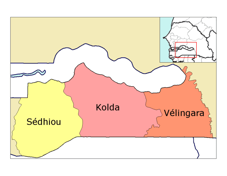
Kolda Department is one of the 45 departments of Senegal, located in the Kolda Region in the centre of the country.
Contents
Map of Kolda, Senegal
Administration
The capital settlement of Kolda Department is Kolda.
The communes are: Kolda, Dabo, Salikégné and Saré Yoba Diéga
The rural districts (Communautés rurales) comprise:
Population
As of December 2002, the population of Kolda Department was 279,849 inhabitants. As of 2005, the population was estimated to have grown to 306,591 people. The Kolda population essentially works on agriculture. Kolda is crossed by the Casamance river, which favourises the farmers activities.
Historic sites
References
Kolda Department Wikipedia(Text) CC BY-SA