
 | ||
Kokiche Col (Bulgarian: седловина Кокиче, ‘Sedlovina Kokiche’ se-dlo-vi-'na ko-'ki-che) is the ice-covered col of elevation over 800 m extending 650 m on Trinity Peninsula in Graham Land, Antarctica, which is linking Aureole Hills to the northwest to Detroit Plateau to the southeast.
Contents
The col is named after the settlement of Kokiche in Southern Bulgaria.
Location
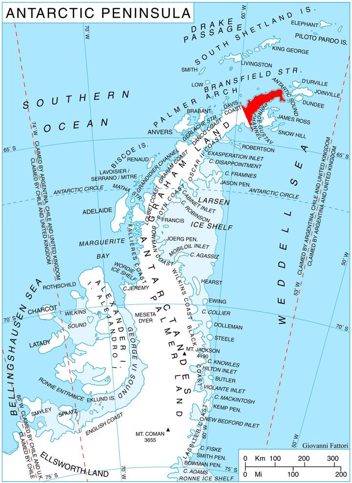
Kokiche Col is centred at 63°46′24″S 58°53′56″W, which is 3.5 km north of Bendida Peak, 12.15 km east by north of Poynter Hill, 5 km south by east of Tinsel Dome and 7.79 km southwest of Zlatolist Hill. German-British mapping in 1996.
Maps
References
Kokiche Col Wikipedia(Text) CC BY-SA